Kylesku Lochs
| OS map : | 15 |
| start : | Kylesku Pier |
| gridref : | NC230339 |
| summary : | Kylesku - Loch Glendhu - Loch Glencoul - Kylesku |
| tide : | HW/LW 5mins after Ullapool. Tidal flow is minimal in these inland lochs. |
| distance : | 18.5km. |
| time taken : | 5hr. 20min. |

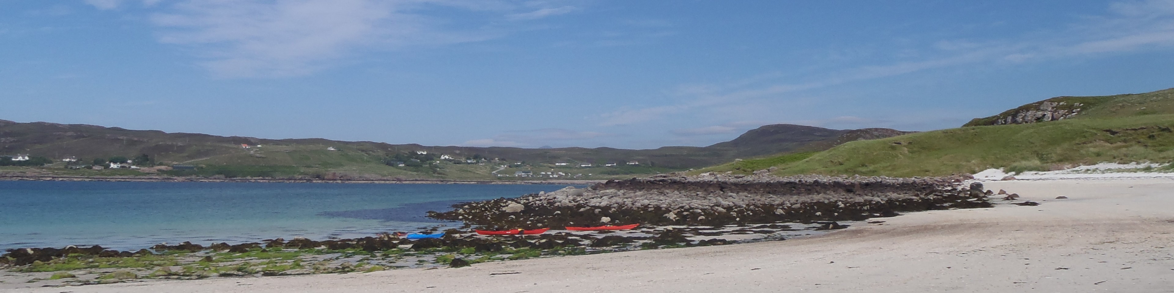
Loch Glencoul.
©songofthepaddle.co.uk
Kylesku is the crossing point into the far north west, now via a new (1984) impressive bridge. To the east, inland, are two lochs, Glencoul and Glendhu. Due to the inland location these are sheltered. There main attraction is the scenery which can only be described as exceptional. The surounding hills provide a perfect background to these beautiful and remote lochs. The paddle goes around the two lochs but for a shorter day the paddler can choose one loch.
Except at low water it is possible and convenient to launch from the slipway, keeping away from the commercial crafts. If the tide is low there is another potential launch site just around the corner, away from Kylesku.
From the slipway paddle to the north shore of Loch Glendhu, keeping right of the islands. There is a Hydro station on the north shore of the loch with a waterfall descending into the loch. Follow the shoreline to the end of the loch. There is a bothy here at Glendhu, a good place for a rest.(5.5kms. 1hrs. 40min.)
Follow the south shore of Loch Glendhu back towards Kylesku, then round Aird da Loch and follow the north east shore of Loch Glencoul. There are a couple of buildings at Glencoul where you can stop. Continue through the narrowows into Loch Beag and onto the end where you can pull out. The waterfall that can be seen from here, is the highest in the UK, and one of the more remote.(7kms. 2hrs. 10min.)
The route back to Kylesku is back out of Loch Beag and then along the south west shore of Loch Glencoul back to the slipway. Again in low tide you may have to find a landing point just around the corner from the slipway.(6kms. 1hrs. 50min.)
© northwestedge.co.uk all rights reserved 2017-2026